Amethyst Brook Labyrinth
By Ophelia W. Ravenia
This is one of the places on the blog that I actually don’t have much information on. I stumbled across it while looking for hiking spots– this came up as a “point of interest” in one of the hiking apps I use. Searching for further information online turned up extremely limited information. Therefore, this post will be quite different than my usual information-heavy entries.
Tucked away on the edge of Amherst, Massachusetts is a lovely plot of conservation land situated along Amethyst Brook. Tranquil trails crisscross the wooded lot. Amethyst Brook bisects the space, providing the ambient noise of the Brook's flow. While the conservation land itself was quite lovely, it wasn’t the only thing which drew me to this place. In the woods across the brook, there was a labyrinth.
When first trying to find the labyrinth, I drove down a dirt road to a trailhead– only to be met with a series of “No Parking” signs at the end of the road. Undeterred, I headed back to the main road and navigated to another trailhead. This one was well-marked and had a decent sized parking area. Despite the size of the parking lot, and it being an overcast and unseasonably chilly weekday, there were only two spots available. Despite this place not being on my radar, it’s clearly far from a hidden gem!

Meadowland at Amethyst Brook Conservation Area, May 2025. Photograph by Ophelia W. Ravenia
After parking and applying a generous coat of bug repellant, I set off onto the trail. The trail started out as a wide, flat path. After going through a stand of trees, it opened to a clearing. The clearing is mostly meadowlands, although part of it had a greenhouse and some community garden plots. After passing through the clearing, the trail entered some woods. The woodland was dominated by a dense canopy of pine; the limited sunlight kept most understory growth at bay. The bed of fallen pine needles on the forest floor muffled the sound of my footsteps. The soundscape was dominated by the babbling waters of Amethyst Brook and the forests’ melody of birdsong. The trail began to twist and split, with paths branching and rejoining as I walked along. This area seems well used– I was seldom alone for long on the trail. It seems like a popular spot for nature walks, especially among folks with dogs.

Quaker Ladies in Bloom near Amethyst Brook, May 2025. Photograph by Ophelia W. Ravenia.

Crop Field near Amethyst Brook, May 2025. Photograph by Ophelia W. Ravenia.

Pine Trees at Amethyst Brook, May 2025. Photography by Ophelia W. Ravenia
When I reached the brook, I followed it until I came to a footbridge. It was a wooden bridge, supported by a large log. The span was sagging in the middle, and it appeared that this bridge had seen better days. Knowing that the labyrinth was across the brook, I crossed my fingers and stepped up onto the bridge. It creaked and wobbled as I crossed, but I made it over just fine.

Amethyst Brook, May 2025. Photograph by Ophelia W. Ravenia
From here, the GPS coordinates I had were clearly off. Much like on the other side of the brook, multiple trails crossed and meandered through the forest. I accidentally ended up in a cornfield at one point, before ducking back into the woods. I continued to walk multiple paths with no avail. At this point, I decided to give up on the labyrinth for a bit, and continue on one of the trails to an old junkyard and the summit of Mount Orient, with the intention of finding the labyrinth on the way down from the mountain. I’ll post about the junkyard another time. The mountain hike was lovely, with the added treat of seeing dozens of New England’s native orchids– the ladyslipper– in bloom.

Ladyslippers in Bloom, May 2025. Photograph by Ophelia W. Ravenia.
On the hike down, I found the labyrinth without issue. It sits right off Amethyst Brook, near a footbridge. The footbridge by the labyrinth is much sturdier than the one I’d initially crossed the brook on– it has a metal frame, and looks to be newer than the bridge I’d initially crossed. Near the labyrinth were a series of sculptures– some made of sticks, some made from cement and old junk.

Sculpture at Amethyst Brook, unknown artist, photographed in May, 2025. Photograph by Ophelia W. Ravenia.

Sculpture at Amethyst Brook, unknown artist, photographed in May, 2025. Photograph by Ophelia W. Ravenia.

Sculpture at Amethyst Brook, unknown artist, photographed in May, 2025. Photograph by Ophelia W. Ravenia.
The labyrinth wasn’t a traditional labyrinth– it was a series of two spirals marked by stones in the ground. At the center of each spiral was a stone cairn, where people placed small offerings– coins, painted stones, pine cones. Walking each labyrinth was a peaceful, meditative experience.
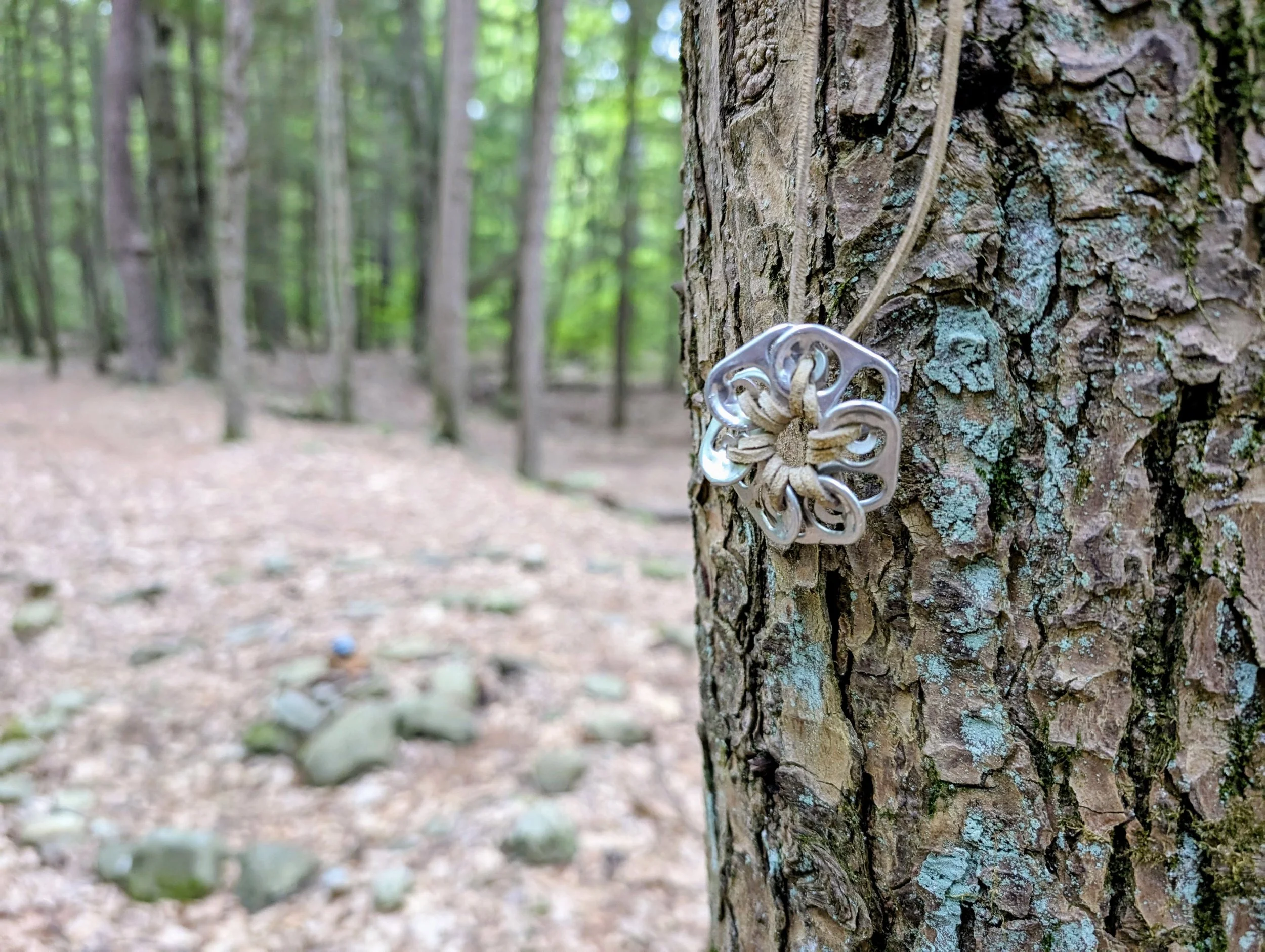
A handmade necklace by Amethyst Brook Labyrinth, unknown creator. Photographed May 2025. Photograph by Ophelia W. Ravenia.

Amethyst Brook Labyrinth, May 2025. Photograph by Ophelia W. Ravenia.

Cairn/Offering Pile at the Labyrinths’ Center, May 2025. Photograph by Ophelia W. Ravenia.

Sign at Amethyst Brook Labyrinth, May 2025. Photographed by Ophelia W. Ravenia.
The trail I took from the labyrinth back to the trailhead cut through private property. The trail was an easement through the property, and the property owners had installed some art and some seating along the brook.

Sculpture near Amethyst Brook. Artist unknown. Photographed in May 2025 by Ophelia W. Ravenia.

Sculpture near Amethyst Brook. Artist unknown. Photographed in May 2025 by Ophelia W. Ravenia.

Sculpture featuring a Langston Hughes quote, near Amethyst Brook. Artist unknown. Photographed in May 2025 by Ophelia W. Ravenia.

Hammock on Amethyst Brook, May 2025. Photograph by Ophelia W. Ravenia.
For GPS directions, use 195 Pelham Road, Amherst, Massachusetts. The trailhead is across from this address.
This site may be inaccessible for folks with mobility difficulties. It requires a little over a mile of hiking. The terrain is fairly flat, but does have some tripping hazards (roots and stones). The river crossing requires a step up & down, and the labyrinth itself is up a small rise and is too narrow to accommodate most mobility aids.
A trail map of the area can be found here:
https://www.kestreltrust.org/wp-content/uploads/2018/11/KLT-Trails-14-Amethyst-Brook-v1.pdf
Other trail maps (including the connecting trails to Poverty Mountain and Mount Orient) can be found on several hiking apps. I personally like Kamoot & AllTrails.